 |
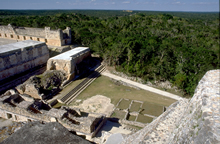
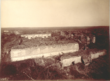
Nunnery Quadrangle and, at lower-right, the Nunnery Annex, from the top of the Pyramid of the Magician.
1888-1891 photograph by Henry N. Sweet as a member of the Thompson/Peabody expedition; scanned from 35mm slide of original photograph at Dumbarton Oaks; reproduced Courtesy of the Peabody Museum of Archaeology and Ethnology, Harvard University. |
|
 |
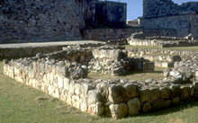
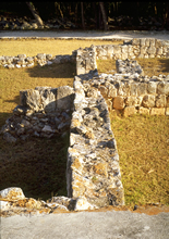
The commonly used name, "Nunnery
Annex," is misleading because the building does not seem
to have shared any functions with the Nunnery. It seems most related to
the courtyard and buildings whose foundations are shown on
this page.
Jan. 2001 |
|
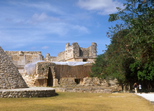 |
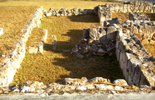
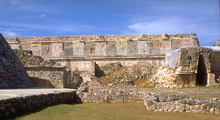
Looking past end of the Pyramid to the Nunnery Annex and beyond it the Nunnery.
Jan. 2001 |
|