 |
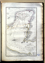
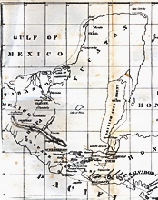
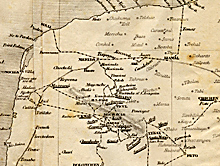
1838. Waldeck. "Map of the Province of Yucatan (Central America)".
Print in Frédéric Waldeck, Voyage pittoresque et archéologique dan la province d’Yucatan, 1838. These 3 images scanned from 35mm slides taken from a copy in the University of Cincinnati Library, with appreciation. |
|
 |
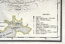
Detail of map at left.
1838 |
|
 |
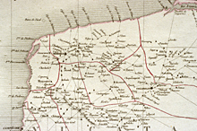
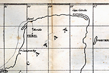
Detail of map at far-left.
1838 |
|
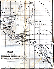 |
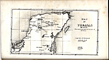
1841. Stephens. "Map of journey in Central America, Chiapas & Yucatan."
Foldout print in
John L. Stephens, Incidents of Travel in Central America, Chiapas, and Yucatan, 1841. Scanned from a copy in the Reed College Library. |
|
 |
Detail of map at left.
1841 |
|
 |
Detail of map at far-left.
1841 |
|
 |
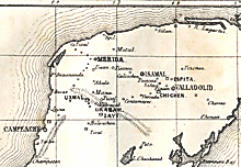
1843. Detail of map at right.
Foldout print in John L. Stephens, Incidents of Travel in Yucatan, 1843. Scanned from a copy in the University of Puget Sound Library, with appreciation.
|
|
 |
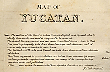
Upper-left portion of "Map of Yucatan".
1843 |
|
 |
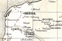
Detail of map at left.
1843 |
|
 |
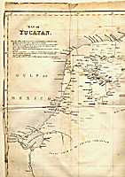
1843. Norman. "Map of Yucatan, Mexico. Shewing the geographical position of the ruins."
Print in B. M. Norman, Rambles in the Yucatan, 1843. Scanned from a copy in the Library of Southern Illinois University, with appreciation.
|
|
 |
Detail of map at left.
1843 |
|
 |
Detail of map at far-left.
1843 |
|