 |
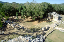
From top of Pyramid; central plaza in center at end of
sacbé, temple courtyard at left.
Jan. 2003 (24mm lens) |
|
 |
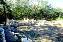
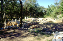
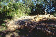
Platforms and foundation
along south side of Central Plaza, after restoration
Jan. 2003 (24mm lens) |
|
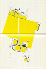 |
"Labna. Yucatan. Mexico (after Thompson)". Yellow areas designating courtyard-type areas and large central area.
Scanned from George F. Andrews, Maya Cities, Placemaking and Urbanization, 1975, fig. 248 (the map here rotated to place north at top). Reproduced with permission of the University of Oklahoma Press. |
|
 |
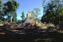
Looking southwest after restoration.
Jan. 2003 (24mm lens) |
|
 |
Looking southwest
from temple courtyard after restoration.
Jan. 2003 (24mm lens) |
|
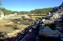 |
Stairs and foundation along
east side of central plaza after restoration.
Jan. 2003 (24mm lens) |
|
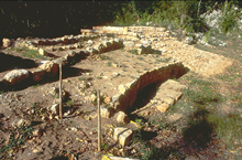 |
After restoration, north
side of ramp at right.
Jan. 2003 (24mm lens) |
|
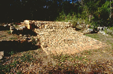 |
North side of ramp after clearing and restoration.
Jan. 2003 (24mm lens) |
|
 |
South side of ramp after clearing and restoration.
Jan. 2003 (24mm lens) |
|