| close window |
|
|
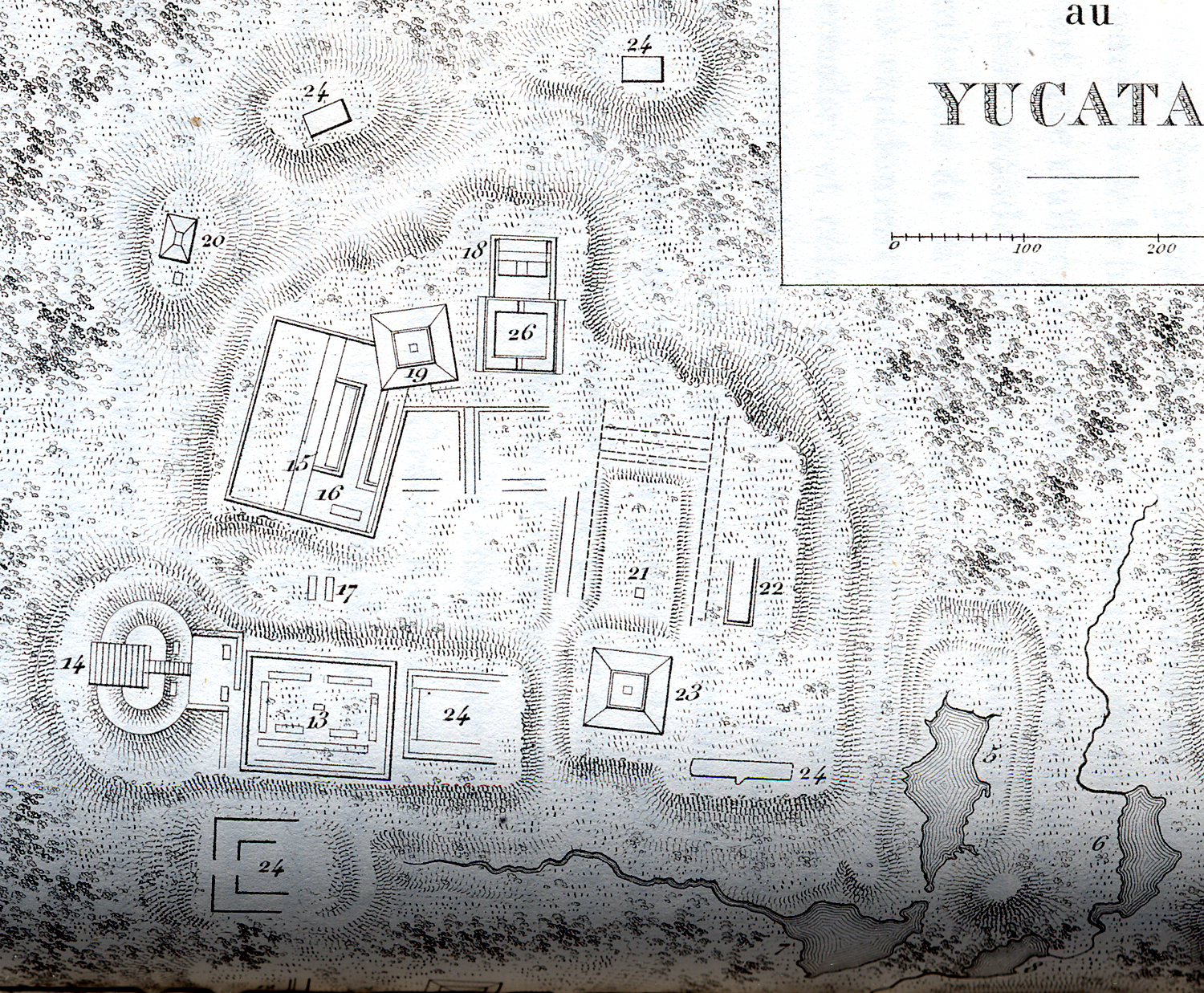
Upper portion of map at far left, showing buildings and shape of 3 of the major aquadas. |
|
|
 |
|
| close window |
|
|
Upper portion of map at far left, showing buildings and shape of 3 of the major aquadas. |
|
|
|
|